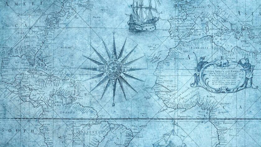
The topic of historical GIS was very enlightening due to some misconceptions I had before learning about it. If I had thought about it, it makes sense, but I didn’t have any real experience with GIS before so I probably wouldn’t have questioned the data behind a map as I would have seen it as ‘factual’. Which, it may well be, but now I can see, as with any statistics, the results you get from mapping are dependent on the data you use, how you interpret it, and the argument you are trying to make. I can see how maps can be used to see different patterns and viewpoints depending on how they are made or the desired result. Ian Gregory and Paul Ell talked about seeing patterns in historical data but not being able to explain why it is there:
The use of maps, therefore, presents a challenge to the historian, as it demonstrates the patterns within the data and challenges him or her to explain them. It does not provide the explanation, and there is a danger of jumping to easy conclusions that may not be justified by more detailed research…To prove its worth as a scholarly tool, researchers using GIS must go beyond this, to ask ‘what lies behind the patterns that the maps show?’ and to describe and explain the historical processes that form these patterns.
Gregory, Ian N., and Paul S. Ell. “Using GIS to Visualise Historical Data.” Historical GIS, n.d., 90, 118. https://doi.org/10.1017/cbo9780511493645.005.
The usefulness of GIS can’t be underestimated though — for the new insights it can bring and the helpfulness of visualizing data with it. As long as conclusions drawn from maps can be verified with the data used to make them (shared data?), and accompanying research is done to back up the data and results, GIS maps should be able to give us accurate information and new insights.
QGIS was a fun tool to use but there was definitely a learning curve. I can see that I would need to spend a long time figuring out how to use all the features but it would be worth it and would add a lot to a digital history project. Deciding which fields to match and which ones to use in the symbology would be easier if I were more familiar with the data and the field names.
From the readings, we also learned that maps are a reflection of a certain point in time and space but another thing to consider is changes over time. We don’t understand all the changes and how quickly or slowly they happened when we look at a single point. Using maps in conjunction with changes over time can create a more balanced view of some data.


Hi Julie 🙂
First, I love the way your website is set up. How did you insert a picture? Second, I am currently reading the book “Magellan’s Terrifying Circumnavigation of the Globe Over the Edge of the World” by Laurence Bergreen. As the title suggests, it is a historical account of Magellan’s journey around the globe in search of the ‘Spice Islands.’ There are various places where the author emphasizes Magellan’s geographical and topographical ignorance of the Earth. Similar to your experience, this made me question the data behind a map and this week reinforced that idea. Third, I am happy to hear that you thought QGIS was a fun tool. However, I had a lot of trouble using QGIS. The hardest part for me is matching the fields and knowing which ones to use in the symbology. But as you said, it would be easier if one were familiar with the data and field names.
Oh and I really recommend that book! I am almost finished and I do not want to because it is so good.
Hi Roser!
First of all – you should have a field in the right sidebar of your post edit screen that says “featured image.” This is where you can insert a picture that will show up wherever the post appears. I hope this is the image you are referring to. You can also tell it to display in different sizes or places within the post but how to do that is a bit different for every theme.
Second, thanks for your comments and I will put that book on my to-read list. It sounds like something I would like too 🙂 It always amazes me what people have done in the past knowing only a fraction of what we do, but they did so many amazing things! I think they used a lot of knowldge we don’t use anymore like stars, etc. We rely on technology so much now that I think we could all get lost just going down the street without our phone/map.